
Walk a Columbus Street Directory
A street-by-street search in Columbus begins with the address as it is used now. Test common variants when a record misses, including Street or St, Avenue or Ave, a directional prefix, and an older spelling. Then separate the land question from the household question. A parcel card and a deed can establish an owner of record or a recorded interest. A library directory can show a household at an address in a particular edition. Voter and permit material carry their own access limits. The useful result is a dated chain of source relationships, not an unsupported declaration that someone lives at an address.
- Write the complete Columbus address, including direction, suffix, unit if relevant, ZIP label, and whether it is inside the city or in Platte County outside city limits.
- Use the assessor route to obtain the parcel identifier, situs address, owner of record, mailing address, and legal description. If the linked service is unavailable, call the assessor counter.
- Use the legal description to compare the adjoining lot, block, subdivision, or plat context. City and county maps help orient the street when a live parcel viewer does not load.
- Search the recorder under the current owner and the legal description. Reverse each grantee to grantor only after the instrument date and property description agree.
- Check the city permit workflow by address, parcel number, or owner name. Treat an applicant or agent as a project role, not proof of residence.
- For earlier years, ask the library for the nearest directory, census, white-page, or map source. Preserve the original street wording before standardizing it.
ZIP and precinct information can narrow a search area. Neither one defines ownership, a neighborhood, or a complete block. The full named-street chain is different from a single-person verification, so a surprising name should be corroborated in two independent records before it is treated as meaningful.
Normalize Columbus Street Addresses
Columbus records do not all use the same address style. A current form may expect a standardized suffix, while an older directory may use a short form, an intersection, a directional phrase, or a distance beyond city limits. The 1915 material can use directional language, and the January 1940 white pages preserve forms such as numbered streets and avenues. Keep the source spelling in research notes, then test a modern version separately. This avoids turning a failed form search into a false conclusion that the property never existed.
Start with a city map and the legal description when a number seems out of place. The legal description is the durable land description used in recorded documents. A lot, block, outlot, or subdivision reference can bridge an older street expression to a current parcel. For historical work, the Columbus Public Library Heritage Room keeps city directories back to 1915, along with maps and other local research materials. Its staff and on-site collection are a practical fallback when a form does not recognize an older address.
Note: Preserve the street form printed in each source, because modernizing every version can hide the clue needed to locate an earlier lot or block.
Columbus Street Parcel Terms
For current Columbus street work, the property record provides the anchor between an address and land. The county-linked GWorks property-search route is verified, but its live interface was blocked during research. The Platte County Assessor, Kari S. Urkoski, can route a request for an existing parcel card at 2610 14th Street, Columbus, NE 68601, or by phone at 402-563-4902. A counter request is more accurate than guessing unverified form fields.
- Parcel
- A local identifier for a piece of land used to connect assessment and map records.
- Situs address
- The physical location of the land or building, rather than the address used for tax correspondence.
- Mailing address
- The destination for assessment notices. It can belong to an owner, trustee, estate, company, or post-office box and is not occupancy evidence.
- Plat
- A mapped subdivision or lot layout that helps connect a legal description to a street location.
- Criss-cross directory
- A historical directory arranged by address, useful for locating a dated household entry after the address is confirmed.
Open the Platte County-linked GWorks property-search route before using the captured reference image.
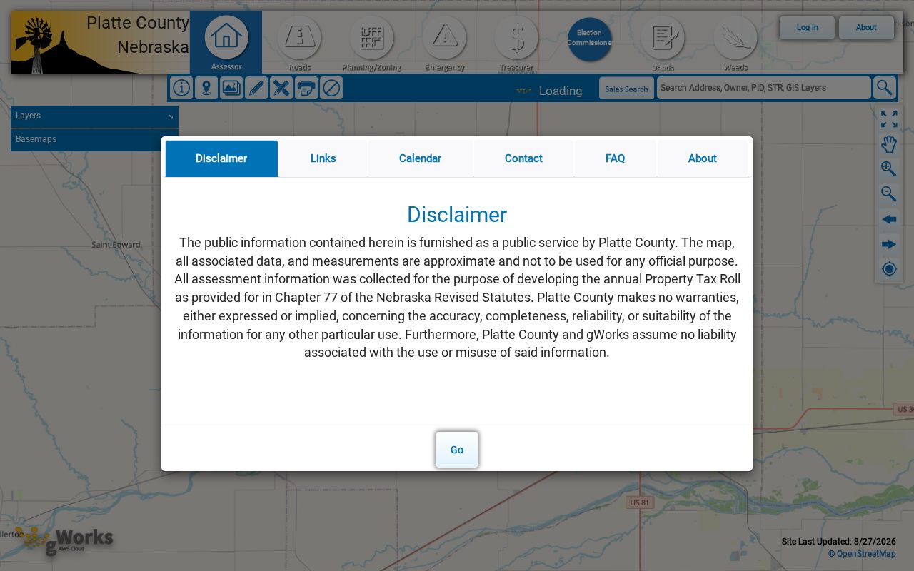
The image documents the verified online destination, not a confirmed list of Platte search controls. Live fields, parcel-card results, layers, and adjacent-parcel controls were not captured.
Columbus Street GWorks Gap
The Platte County Assessor page confirms links to property search and GIS resources. Research did not verify the exact GWorks search fields, required entries, dropdown choices, result pages, parcel-card layout, map-layer names, or adjoining-parcel behavior. The verified route is useful, but it is not a basis for claiming that a particular address, ZIP, owner label, or map control is publicly searchable in a specified way.
Use the assessor counter when the online route fails. Ask for an existing parcel record by address, parcel, or legal description, and specify whether the need is assessment context, situs, legal description, or owner-of-record information. Typical Nebraska parcel material may include owner and mailing information, a legal description and situs, classification, district details, photos, or sketches, but that statewide context is not a Platte sample. For a request under the Nebraska Public Records Act, identify the existing record rather than asking the office to create a new street list.
Note: A map label can lag behind a recorded deed, so compare the capture date, assessor record, and recorder instrument before relying on it.
Search Columbus Street Deeds
The Platte County Register of Deeds keeps the recorded-document trail that makes a street search more precise. A deed links a party to a legal interest in identified land. It does not prove continuous occupancy. Use the Platte deed index to search the address trail through grantor, grantee, and legal-description terms, then check whether the lot, block, subdivision, town, or section description actually matches the parcel.
County guidance describes online data and documents from February 1, 2005 forward. Older work may require the counter, the portal's archived-records route, or an archival request. The Register of Deeds is Sigrid Parker, and the office is on the first floor east side of the Platte County Courthouse, 2610 14th Street, Columbus, NE 68601. Call 402-563-4911 for current access and copy questions. Begin with the current grantee, then search that name as grantor to move backward through a confirmed chain.
Platte Deed Search Fields
The recorded Platte deed-index form has a captured set of name and legal-description controls. Grantor and grantee text can use partial characters. The form also provides an option to show all names, legal-location controls, town and subdivision selectors, and lot-based entries. These controls are especially useful when a street number does not appear in the instrument description.
| Form label or command | Captured control | Street-search use |
|---|---|---|
| Grantor and Grantee | Partial-character text is accepted | Find a current owner, then reverse the recorded party role. |
| Show all names | Checkbox | Expand a party-name review without assuming a person is the only party. |
| Section, Township, Range | Legal-description controls | Search rural or section-based descriptions tied to the address area. |
| Quarter selections | NE, NW, SW, and SE selectors | Narrow a legal-area search when the document uses quarter descriptions. |
| Legal display | Show records in any selected one-quarter or show all legal descriptions | Broaden a legal search after a narrow quarter selection misses. |
| Town and Subdivision | Dropdown controls | Match the recorded plat context instead of guessing from a street name. |
| Block, Lot, Outlot | Legal-description fields | Connect a subdivision record to a parcel and street location. |
| Search commands | Search, Advanced Options, and Change County | Keep the county selection fixed to Platte before recording a result. |
No sample result row was captured for this form. Do not infer a result-column layout, image availability, or pagination from the search controls. Record the instrument number and date only after the returned entry is checked against the legal description.
Permits Along Columbus Streets
The city’s documented online permit workflow starts with a property search by address, parcel number, or owner name. The workflow then moves through property selection, permit type, work description, owner information, fee, attachments, and submission. That makes a permit a useful property-event clue. It does not turn the applicant, agent, contractor, or owner into a confirmed current resident.
Use the official Columbus permit workflow for the documented route. The contractor guide confirms the property-search sequence, but research did not find a public permit-results index. For older applications or files that are not in a visible result set, request existing city records by describing the address, approximate date, permit type, or parcel. Label the source relationship as owner, agent, applicant, or contractor.
Note: A permit ties a project to a property at a recorded time, but it does not establish that every named party lived there.
Columbus Street Record Coverage
Each address-keyed source answers a limited question. Match its date and relationship label to the question at hand. The table distinguishes current land evidence from historical household clues and from election geography. When an online route is incomplete, the recorded fallback is the office counter, a focused public-record request, or the Heritage Room and archival shelf.
| Address record | What it can show | Columbus or Platte access |
|---|---|---|
| Assessor parcel card | Owner of record, mailing address, situs, value, and classification context | County-linked GWorks route, or assessor counter at 402-563-4902; live form details were not captured. |
| GIS parcel map | Road and parcel geometry, with possible labels if the layer provides them | County GIS link is confirmed; exact viewer controls and layers were not captured. |
| Recorded deed | Grantor, grantee, legal description, and conveyance trail | Online February 1, 2005 forward; older counter, archive, or records route. |
| City permit material | Property, project, owner, agent, or applicant relationship | Online workflow searches address, parcel number, or owner name; no public result index located. |
| Voter record | Lawfully accessed registration and precinct context | VoterView and the Platte County Election Commission, subject to statutory restrictions. |
| City directory and white pages | Dated household, subscriber, telephone, or address clues | Heritage Room directories from 1915 and January 1940 white pages, with edition and phone-coverage gaps. |
| Sanborn, plat, or map | Street, block, lot, structure, and building-use context | December 1914 Columbus Sanborn set and map collections; not a complete people list. |
A source chain becomes stronger when two independent layers agree. For example, a legal description plus a dated directory entry is more useful than either alone. A value, mailing address, vote record, or project file must retain its own label instead of being converted into a general statement about a household.
Historic Columbus Street Clues
The Heritage Room is the primary local route for older Columbus address work. It holds city directories back to 1915, newspapers, census material, yearbooks, cemetery and marriage books, and plats and maps. Books remain in the building, while photocopies are allowed. A 1940 white-page hit can add a subscriber and telephone clue, but an omission may simply mean the household had no telephone or that OCR did not recognize an initial. Pair it with a directory, census, or newspaper rather than treating a blank as absence.
For an old address, use a nearby edition rather than forcing modern data onto it. The library’s Digital Library and Heritage Room resources can help identify the relevant shelf or finding aid. The historical collections themselves are the focus of the Columbus city directory route, while this street search uses them only to test a dated address and household connection.
Columbus Sanborn Street Snapshot
For physical street context, the December 1914 Columbus Sanborn set has 11 sheets. The Library of Congress digitized Sanborn resource can show streets, lots, building footprints, and uses at that date. It is a fixed map snapshot, not a resident roll. Use it to test whether a structure or street pattern existed, then move back to the appropriate deed, plat, directory, or newspaper source for people-related evidence.
Sanborn sheets are especially useful when early sources use intersections, directional wording, or distances rather than a current standardized number. The 11-sheet set sits between early land records and later property systems, so it can help explain why a modern address form does not find a historic expression. Preserve the sheet number and publication date in a research log.
Note: A building shown on a 1914 sheet supports physical context only, not the identity of a person associated with that location.
Columbus Street Boundary Filters
Columbus uses the 68601 and 68602 postal labels, but a ZIP is a delivery label rather than a parcel boundary. Use it as a filter only after confirming the actual address. The captured research does not map individual streets to 68602. A precinct is election geography, and city limits, wards, zoning, and future land use are separate city layers. The Columbus City Maps landing page is useful for orienting those layers, but it does not replace the legal parcel boundary or deed description.
Jurisdiction can change even when an address uses Columbus mailing language. Platte County is not generally zoned, while Columbus has a two-mile extraterritorial planning area and one-mile areas around villages and second-class cities. That boundary can affect the permit or planning custodian. It does not change what a postal label, ward, or precinct can prove about the property itself.
Columbus Street Directory Limits
Address records leave important information private or incomplete. An assessor record can distinguish the situs from the mailing destination, but neither field alone identifies a current household. A deed records an interest transfer. A historical directory is dated. Nebraska Public Records Act exceptions in §84-712.05 include utility customer lists and protected personal information, while some otherwise public records require redaction. Public status does not mean every field is appropriate to collect or repeat.
Use Nebraska VoterView only for a lawful registration or polling-place question, not to compile a block list. The statewide voter file has separate restrictions under §32-330. A substitute address used through the Nebraska Address Confidentiality Program must never be used to infer a protected location. For a missing existing government record, make a focused request under the Nebraska Public Records Act instead of attempting to reconstruct private data.
Lawful use. Columbus street records are for careful, personal research. Nebraska law at §28-311.02 prohibits conduct that knowingly harasses, threatens, intimidates, or stalks another person.