
Columbus Neighbors by Block
Public sources around a Columbus address reveal different parts of a block. Parcel geometry establishes whether land actually adjoins. Assessment records can identify the current owner of record, mailing address, situs, value, and classification context. A recorded deed identifies a named party and legal-interest transfer. A permit can tie a project to a property. Those are valuable observations, but none creates a complete or current household roster. Use the date and the relationship stated by the record.
| Source | What it shows about a block | Access |
|---|---|---|
| GIS parcel geometry | Parcel boundaries and immediate land adjacency, with possible labels if a layer provides them | County GIS link is verified, but live controls and layers were not captured. |
| Assessor parcel card | Owner of record, mailing address, situs, value, and classification context | County-linked route or the Platte County Assessor counter. |
| Recorded deed | Legal description, recorded parties, and conveyance date | Platte index online from February 1, 2005 forward; older counter or archive route. |
| City permit material | Property, project, owner, agent, or applicant relationship | Online workflow by address, parcel number, or owner name; no public result index located. |
| City map layers | City limits, wards, zoning, and future land-use context | City Maps landing page, separate from a parcel boundary. |
| Historic directory or white pages | A dated listed household or telephone subscriber at an address | Heritage Room and 1940 white-page resources, with coverage gaps. |
| Voter resource | Lawfully accessed registration or precinct context | VoterView and election office, subject to §32-330 restrictions. |
Columbus neighbors are best understood as documented relationships to nearby parcels, not as a broad list of people. A parcel across a road, alley, railroad, creek, or municipal edge may be close on a map but not share a boundary. Record whether it is adjoining, across the street, across an alley, or simply nearby.
Map a Columbus Neighbor Block
The potential GIS method begins with one subject parcel and proceeds only to immediately adjoining land. The county links to property and GIS resources, but research did not capture the live GWorks map controls or a sample parcel screen. Use the steps below as a verification sequence if the map is available, not as a claim that every control is currently exposed. If the map fails, the assessor counter, city maps, plats, and the recorder provide the fallback route.
- Locate the subject property by address, parcel identifier, or legal description. Preserve the legal description before comparing neighboring land.
- If the viewer is available, open the subject parcel and note its parcel identifier, legal description, and any owner label with the layer name and date.
- Enable parcel boundaries if that layer is offered. Select only immediately adjoining polygons, then record the shared side and direction rather than assuming a fixed radius.
- For each adjacent polygon, compare the displayed legal description with the assessor record. An owner label may be delayed or may reflect a mailing name.
- Verify each adjacent legal description in the recorder index. A confirmed instrument is stronger than a map label, but it still records an interest transfer rather than occupancy.
For the full chain along a named road, use the Columbus street directory. A block search stops at the adjoining parcel relationship, while a whole-street search continues through the address sequence, historic directories, and permits.
GIS Limits for Columbus Neighbors
Map geometry can be decisive about land adjacency and still be silent about people. Keep every layer separate. A parcel polygon answers a boundary question. An assessor card answers an assessment question. A deed answers a recorded-interest question. The table makes the limits explicit so an address researcher does not merge unlike evidence into a claim about a current household.
| Evidence layer | Positive signal | What it does not establish |
|---|---|---|
| GIS parcel polygon | Land adjacency and parcel geometry on the map date | Occupancy, voter status, or complete owner history. |
| Assessor card | Owner, mailing address, situs, value, and classification in the assessment record | Move-in date or present occupant. |
| Recorded deed | Named party and legal-interest transfer on its recording date | Continuous residence or actual possession. |
| Permit | Applicant, owner, agent, or project tied to the property | That the named project party lived there. |
| Directory entry | A household or subscriber listed in that edition | Every household member or status after publication. |
| Voter record | A registered residential address when lawfully accessed | All people at the address or current occupancy. |
| Sanborn or plat | Structure, street, lot, or building context at publication | Person identity unless a printed business label provides context. |
Strong Columbus neighbor research uses two independent layers. A deed plus a dated directory, or an assessor card plus a permit, can support a narrow, source-labeled conclusion. A single database hit remains a clue until another record agrees. Capture the source date, document or parcel identifier, and the exact relationship it supports.
Note: If a map makes a surprising connection, verify the legal description with the assessor and recorder before treating the displayed label as current.
Label Columbus Neighbor Records
The Platte County Assessor route is useful for the current property context around Columbus, but the live field set was not captured. Request an existing parcel card by address, parcel, or legal description from Assessor Kari S. Urkoski at 402-563-4902 when the county-linked service does not load. The important practice is to preserve the record's category. Owner of record, mailing recipient, situs location, and listed household are not interchangeable descriptions.
| Observation | What it supports | What it does not support |
|---|---|---|
| Owner of record | Recorded or assessed ownership relationship to the parcel | Current occupancy. |
| Mailing address | Where assessment correspondence is sent | That the owner lives at the situs. |
| Situs address | Physical location of the parcel or building | Identity of a current household. |
| Directory listing | Household or subscriber at an address in a dated edition | Present status or every person at that address. |
A mailing address may be a post-office box, trust, estate, organization, remote owner, or recent destination. That is why the parcel's physical situs must be recorded separately. Correct an apparent assessment error with the assessor, not by overwriting the source relationship in a private research note.
Verify Columbus Neighbor Deeds
After mapping a possible adjoining parcel, use the Platte County deed index to compare legal descriptions and recorded parties. Search with a confirmed current owner, grantor or grantee, or the lot, block, outlot, subdivision, town, section, township, and range information available from the parcel context. Partial-character name entries are accepted by the form, and the legal-description fields are more reliable than a street name when documents describe land by plat terms.
Online Platte records and documents are described by the county as available from February 1, 2005 forward. Earlier material needs the recorder counter, archived-records route, or an archival request. The Register of Deeds, Sigrid Parker, is at the Platte County Courthouse, 2610 14th Street, Columbus, NE 68601, and can be reached at 402-563-4911. Do not substitute a deed party for a present neighbor without a separate, dated source.
Voter Limits for Columbus Neighbors
Nebraska voter resources are election tools, not a public block roster. Nebraska VoterView has a name-lookup path and a separate polling-place mode based on a residential-location entry. Research did not capture a result page, so it is not appropriate to promise a set of returned fields. A polling-place result can help with an election question, but it cannot establish who comprises a household or who owns the parcel.
The public voter register is subject to inspection rules, but copying and list distribution are restricted by §32-330. The statewide voter file uses an affidavit and limited permitted uses, and it must not be posted on the internet. For a registration or precinct question, contact the Platte County Election Commission, led by Eryn Roberts at 1464 26th Avenue in Columbus, phone 402-563-4908. Keep voter address, parcel ownership, and city ward as separate layers.
Note: A VoterView address or polling result is an election record, not a complete household list or a substitute for parcel verification.
Columbus Neighbor Association Plan
Columbus’ comprehensive-plan discussion describes neighborhood associations as community groups that can include owners, local businesses, schools, churches, nonprofit groups, and other local participants. Its goals include communication, volunteer projects, a common voice, and neighborhood improvement. The document discusses formalizing a program, using a liaison, and expanding associations. It is a planning concept, not a directory proving that a named group is active on a particular block.
Research found no official current inventory of named Columbus neighborhood associations, boundaries, member directories, meeting calendar, or joining process. Do not create one from assumptions. Ask the City Clerk or Planning staff for current official status, and use the plan only to understand the contemplated community role.
| Contact route | Appropriate request | What it cannot verify |
|---|---|---|
| Columbus City Clerk or Planning route | Whether the city maintains a current association list, map, contact route, or program update | Who lives on a specific parcel. |
| Comprehensive-plan discussion | How the city describes the association concept and formalization goals | A current membership list or active-group boundary. |
| Columbus Area Chamber | Community and member-directory context; 753 33rd Avenue, 402-564-2769 | Residential adjacency or household identity. |
Community Directories Near Columbus
Community resources can describe the organizations around a Columbus block, but they are not evidence that an organization member lives beside an address. The city’s Local Resources page links community organizations and local institutions. The municipal business directory can be searched by A-Z, category, or name. Both routes are useful for civic context after the parcel research is complete.
Commercial neighbor-lookup tools offer broad, mixed-source summaries. Official layers offer a narrower, dated, source-labeled record trail. The difference matters when map geometry, deed text, a permit, or a library directory point in different directions.
| Official source layers | Commercial neighbor-lookup category |
|---|---|
| Custodian, record date, legal relationship, and an office route for confirmation | Mixed-source summaries that may lack a clear record date or direct correction path. |
| Parcel, deed, permit, city-map, and library sources keep distinct relationships separate | May combine property and personal signals without showing which source supports each statement. |
Boundary Layers Around Columbus
The Columbus City Maps landing page supplies city-limits, ward, zoning, and future-land-use context for a block.
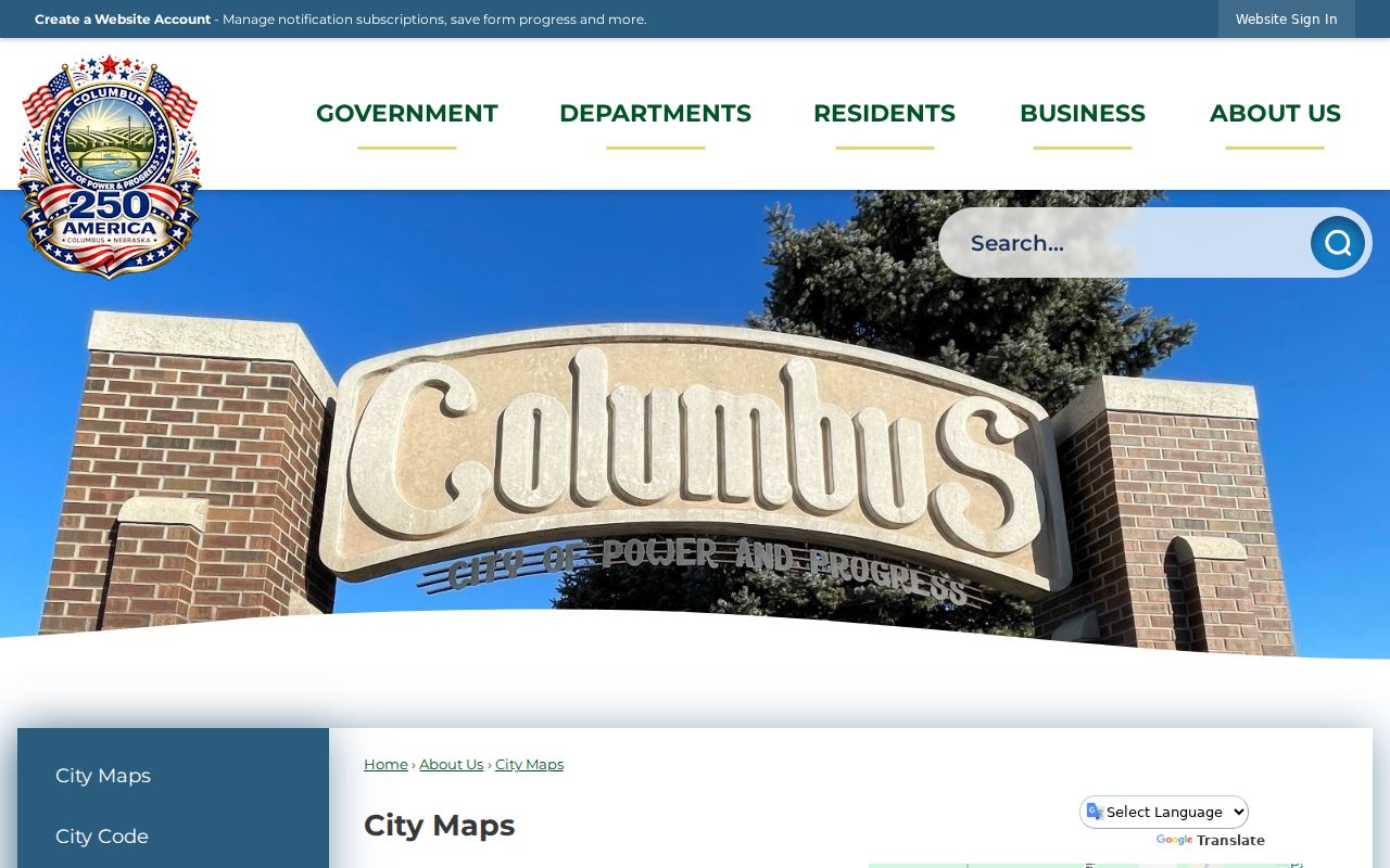
The city-map image helps orient municipal layers, but it does not replace a parcel polygon, legal description, or recorded deed. Keep city limits and wards separate from ZIP labels and voter precincts. Each serves a different government purpose.
Platte County is not generally zoned, while Columbus has a two-mile extraterritorial planning area and one-mile areas around villages and second-class cities. A property with Columbus mailing language can therefore have a different planning or permit custodian. The 68601 and 68602 labels are postal geography, not neighborhood boundaries or proof that two parcels belong to the same block.
Protect Columbus Neighbor Privacy
A lawful neighbor search stops at the source relationship needed for the question. Nebraska Public Records Act exceptions in §84-712.05 protect categories that include utility customer lists and other sensitive information, and public records may require redaction. A parcel boundary does not disclose a current household. An owner mailing address is not a situs address. A voter record is not a block roster. These distinctions protect both accuracy and people who may be at risk.
The Nebraska Address Confidentiality Program provides a substitute address and mail-forwarding process for eligible participants. Never compare a substitute address with map, parcel, voter, or directory material to infer a protected location. For a missing existing city record, a focused request under the Nebraska Public Records Act is more appropriate than gathering unrelated personal details. Keep only the minimum source data needed to resolve the land or civic question.
Lawful use. Columbus neighbor records support careful, personal research. Nebraska §28-311.02 prohibits knowing conduct that harasses, threatens, intimidates, or stalks another person.